 groundcad 0.3
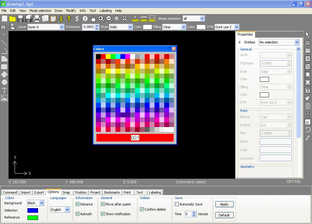
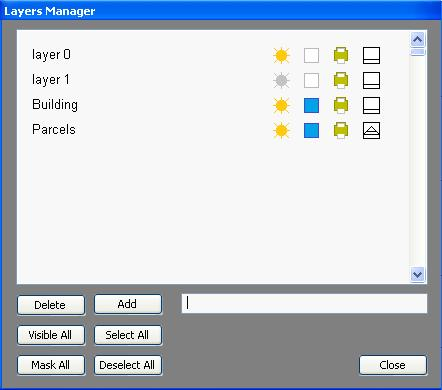
GroundCAD is a 2D CAD software for the land surveying and civil engineering. It runs on windows xp/7/8 , linux and mac os.
GroundCAD has a simple graphical interface to ensure the speed, simplicity and the efficiency.
GroundCAD has a simple graphical interface to ensure the speed, simplicity and the efficiency.
Last update
28 Aug. 2015
Licence
Free
OS Support
Windows
Downloads
Total: 465 | Last week: 0
Ranking
#607 in
3D Modeling & CAD
Publisher
Groundcad
Screenshots of groundcad
groundcad Publisher's Description
GroundCAD is a 2D CAD software for the land surveying and civil engineering. It runs on windows xp/7/8 , linux and mac os.
GroundCAD has a simple graphical interface to ensure the speed,simplicity and the efficiency.
GroundCAD supports many standard formats like :
Ascii file(txt/csv),Autodesk dxf(ascii R12),Leica(gsi 8/16),Sokkia(sdr33)
Topcon(fc4/gts7/xml/landxml),Google(kml) ...
GroundCAD has a simple graphical interface to ensure the speed,simplicity and the efficiency.
GroundCAD supports many standard formats like :
Ascii file(txt/csv),Autodesk dxf(ascii R12),Leica(gsi 8/16),Sokkia(sdr33)
Topcon(fc4/gts7/xml/landxml),Google(kml) ...
Look for Similar Items by Category
Feedback
- If you need help or have a question, contact us
- Would you like to update this product info?
- Is there any feedback you would like to provide? Click here
Popular Downloads
-
 Kundli
4.5
Kundli
4.5
-
 Macromedia Flash 8
8.0
Macromedia Flash 8
8.0
-
 Cool Edit Pro
2.1.3097.0
Cool Edit Pro
2.1.3097.0
-
 Hill Climb Racing
1.0
Hill Climb Racing
1.0
-
 Cheat Engine
6.8.1
Cheat Engine
6.8.1
-
 Grand Theft Auto: Vice City
1.0
Grand Theft Auto: Vice City
1.0
-
 Grand Auto Adventure
1.0
Grand Auto Adventure
1.0
-
 Tom VPN
2.2.8
Tom VPN
2.2.8
-
 HTML To PHP Converter
6.0.1
HTML To PHP Converter
6.0.1
-
 Zuma Deluxe
1.0
Zuma Deluxe
1.0
-
 Netcut
2.1.4
Netcut
2.1.4
-
 Windows XP Service Pack 3
Build...
Windows XP Service Pack 3
Build...
-
 Vector on PC
1.0
Vector on PC
1.0
-
 Minecraft
1.10.2
Minecraft
1.10.2
-
 Ulead Video Studio Plus
11
Ulead Video Studio Plus
11
-
 PhotoImpression
6.5
PhotoImpression
6.5
-
 Street Fighter 3
1.0
Street Fighter 3
1.0
-
 Auto-Tune Evo VST
6.0.9.2
Auto-Tune Evo VST
6.0.9.2
-
 Iggle Pop
1.0
Iggle Pop
1.0
-
 C-Free
5.0
C-Free
5.0